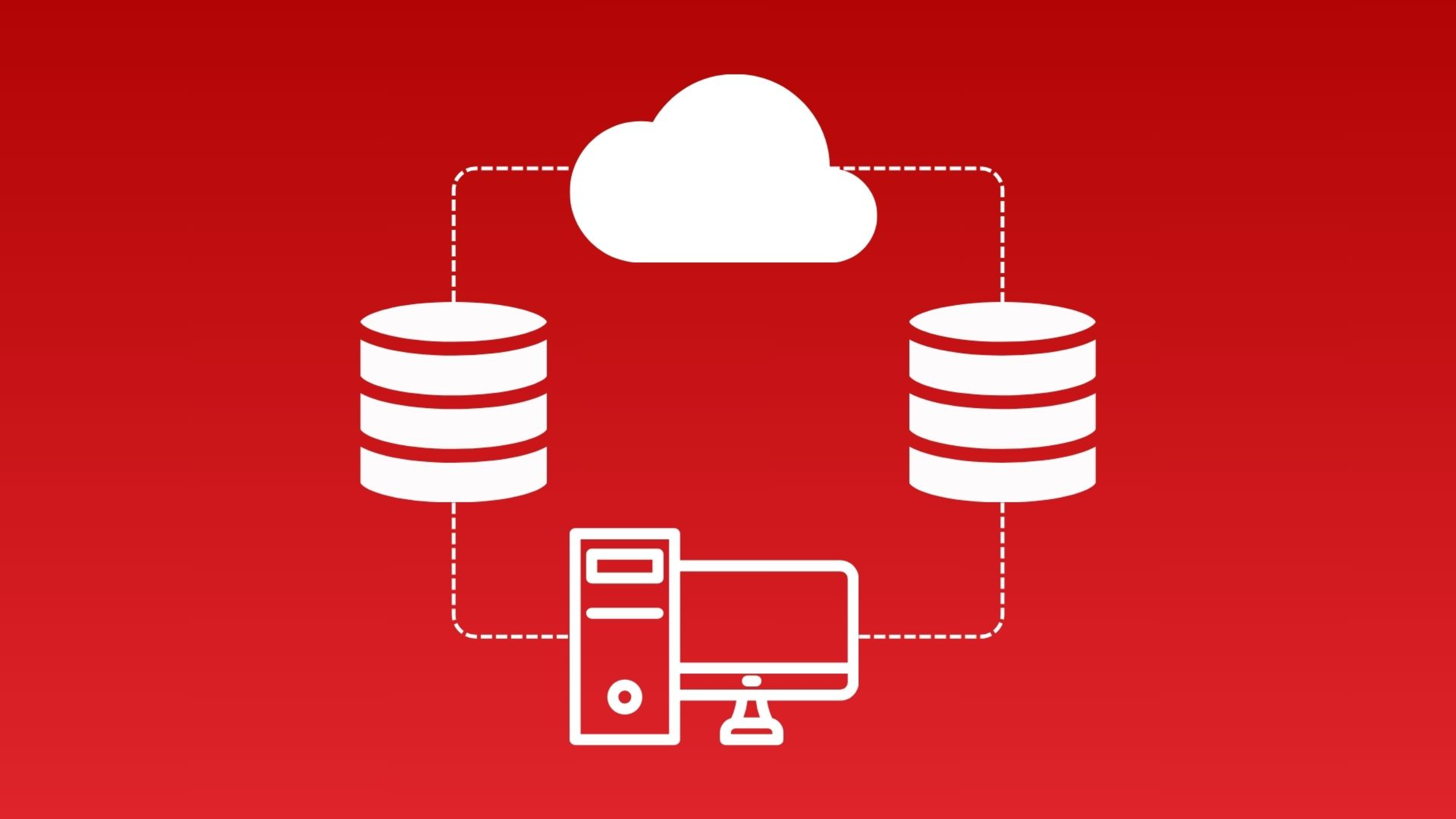
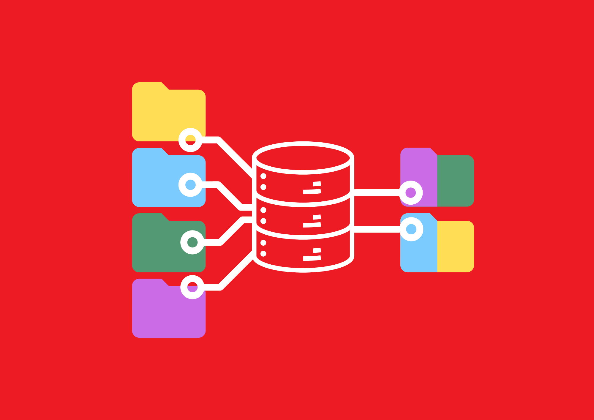
Data migration involves moving spatial and attribute data from one GIS platform, database, or storage system to another.
DATA MIGRATION SERVICE
GIS data migration involves transferring spatial and attribute data between systems, addressing factors like upgrades or consolidation. Key considerations include maintaining data integrity, diverse formats, coordinate systems, and metadata. Rigorous testing, planning, and communication are vital.
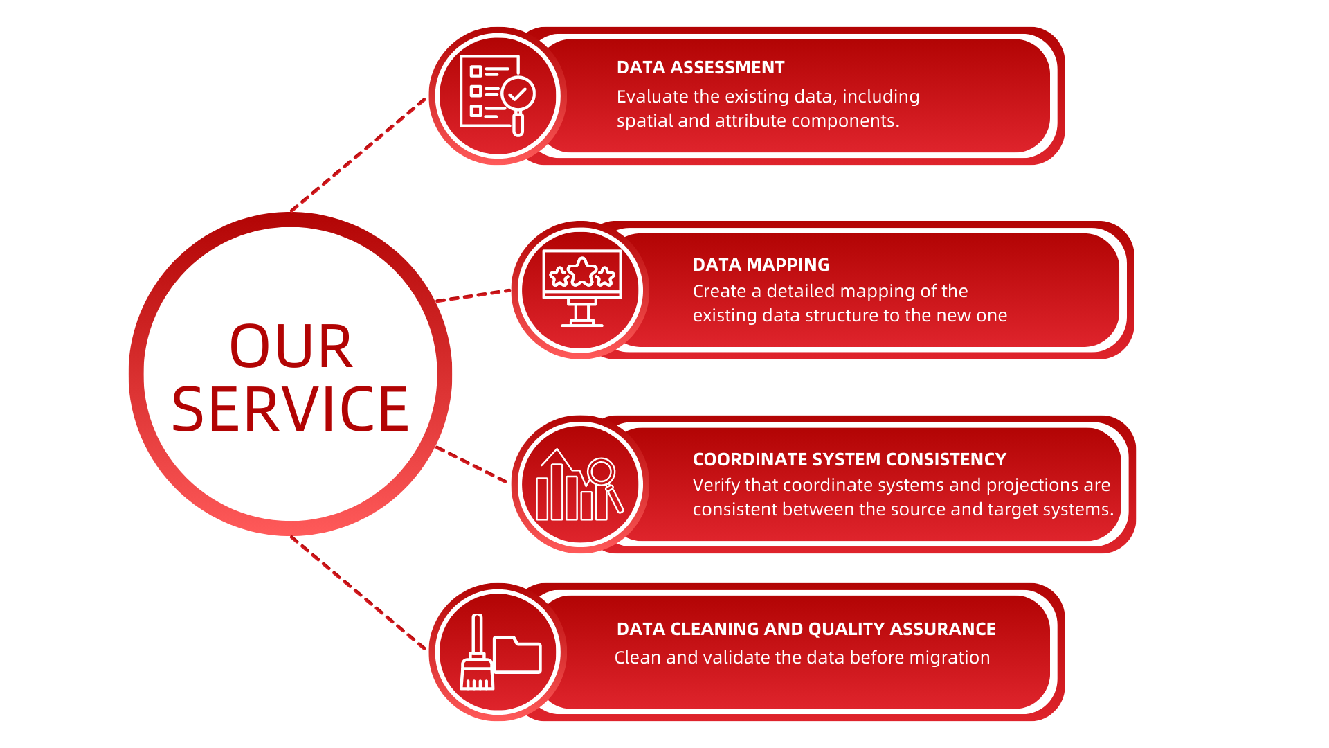
At RedPlanet, we specialize in efficient GIS migration, offering solutions for upgrades and consolidation. Our team ensures careful handling of data formats, precise coordinate system management, and accurate metadata transfer, embracing technologies like cloud integration for effectiveness.
TYPEs OF DATA MIGRATION
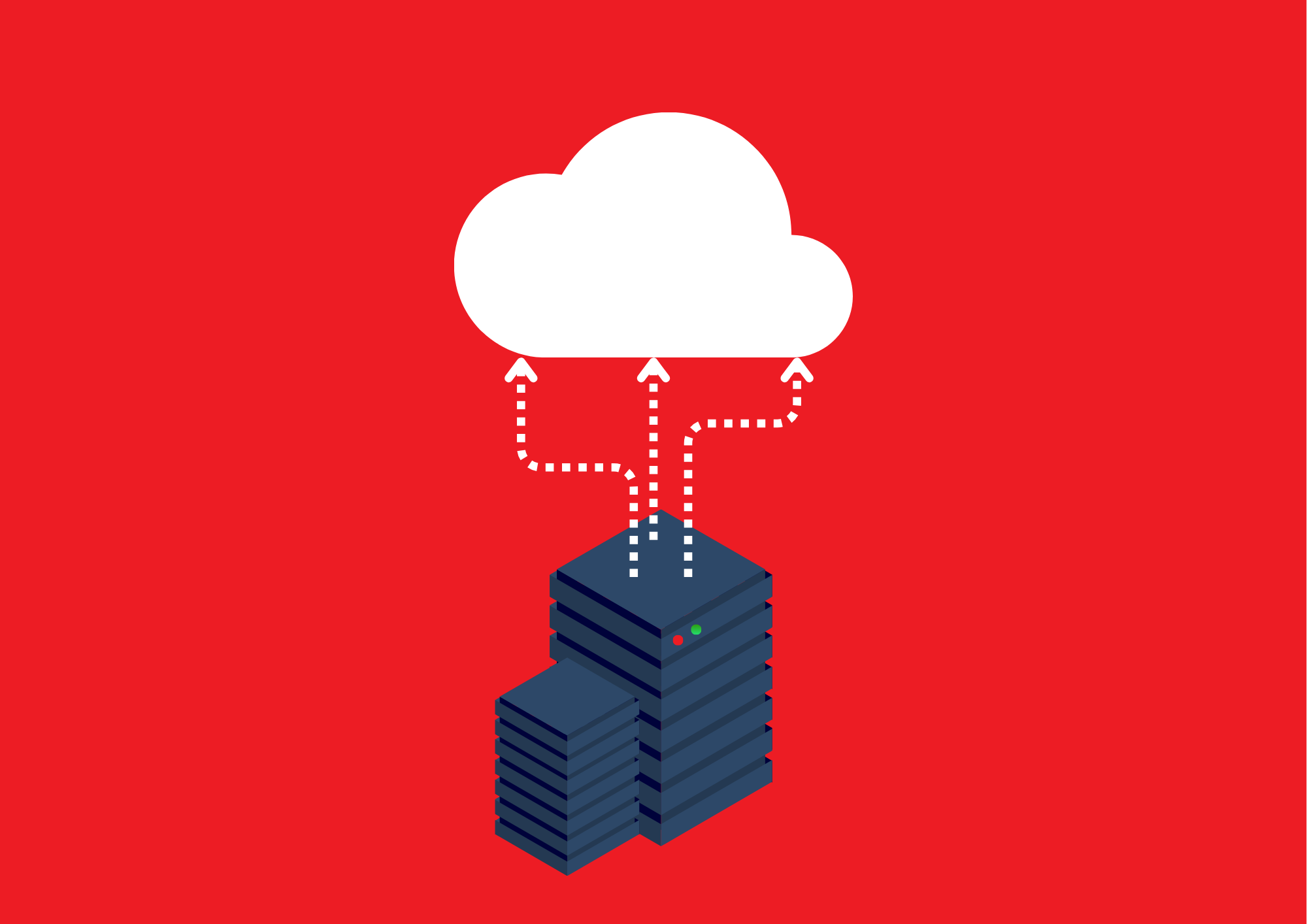
On-premise to Cloud Migration
Involves moving GIS data from physical servers to a cloud platform, offering benefits like increased scalability, improved accessibility, and enhanced disaster recovery options.
Platform Migration
This migration strategy entails switching GIS platforms, such as moving from ArcGIS Pro to QGIS. It is often driven by factors like improved functionality or user preference.
Data Consolidation Migration
Data consolidation migration combines information from multiple sources into a centralized repository, aiming to enhance data accessibility, streamline analysis, and facilitate collaboration
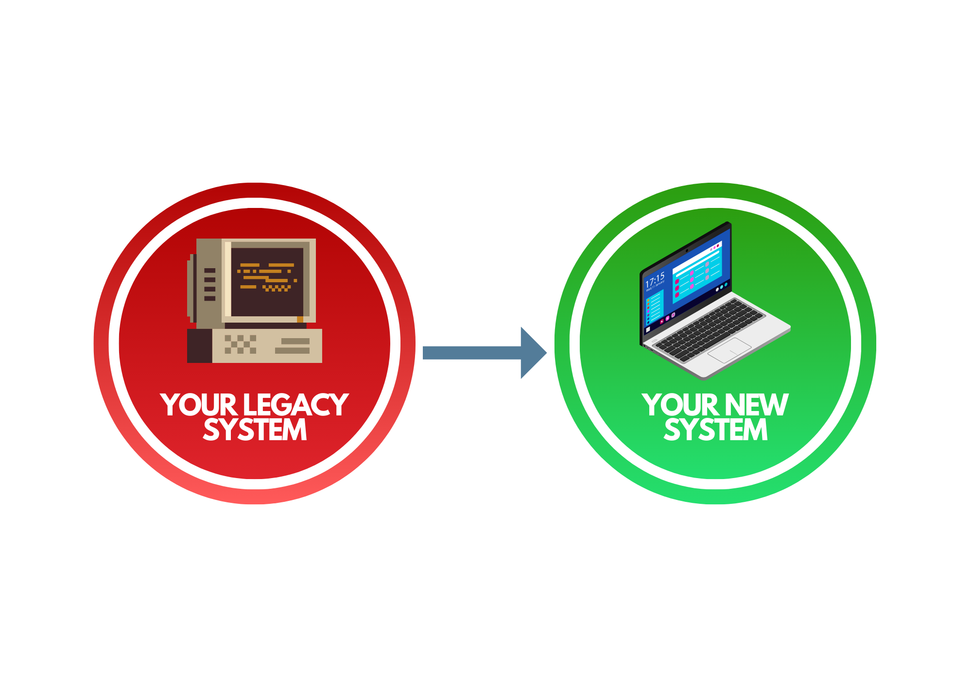
Legacy System Migration
Legacy system migration transfers data from outdated systems to modern platforms, contributing to modernization and improved data management.
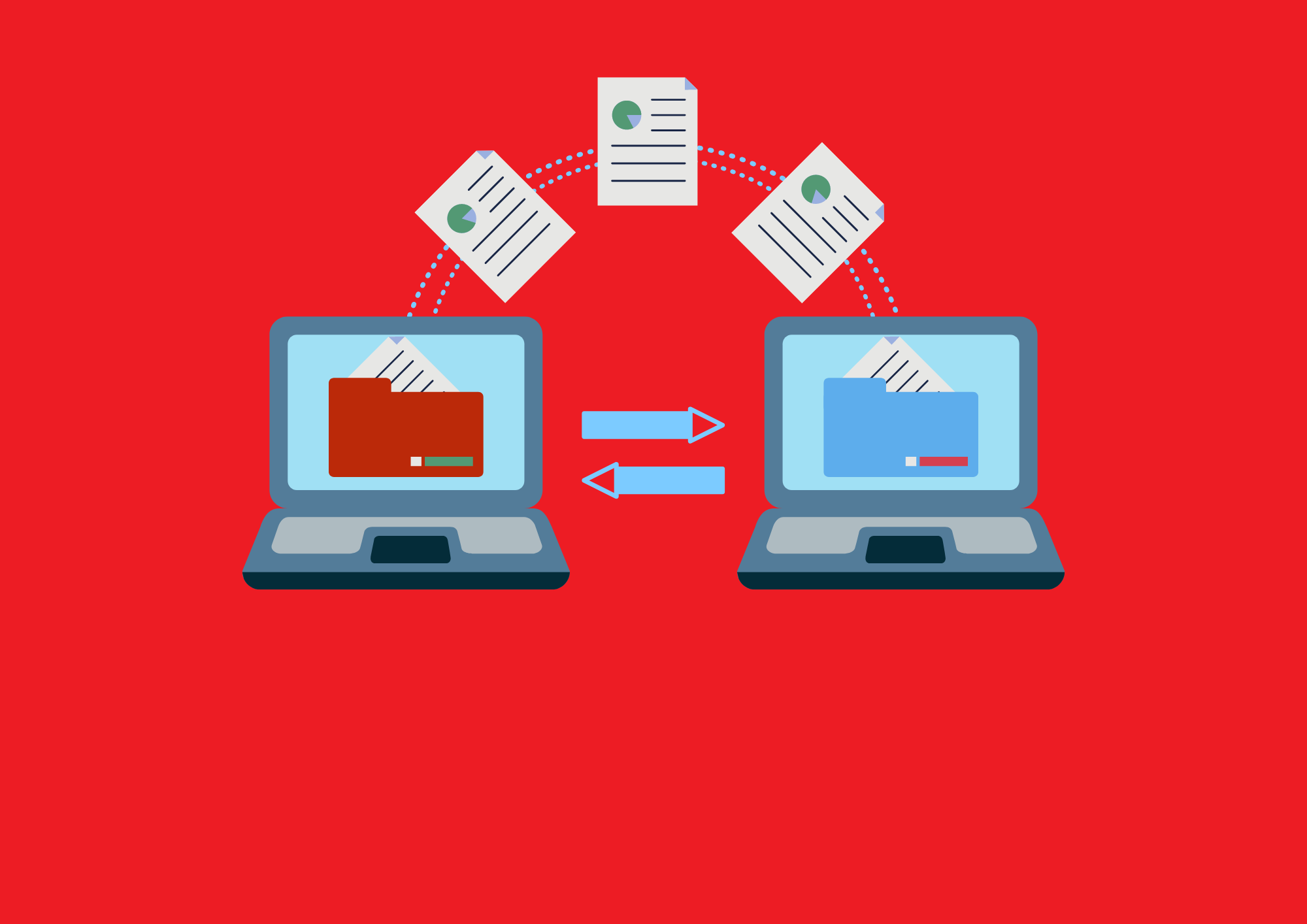
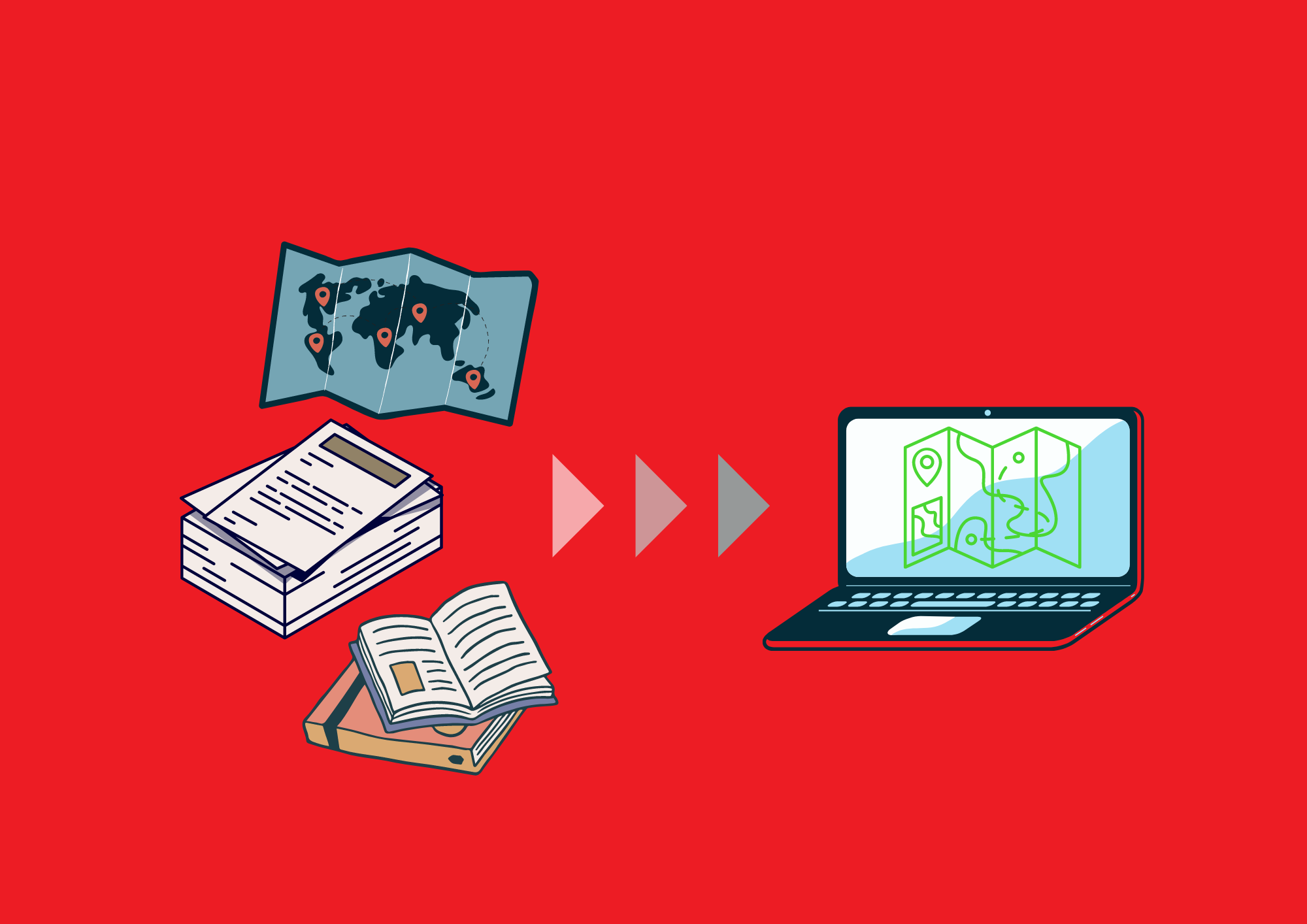
Format Conversion Migration
Format conversion migration focuses on changing data formats (e.g., shapefiles to GeoJSON) to ensure compatibility with new software or databases. This process, though relatively straightforward, may require specialized tools and expertise.
DATA MIGRATION SIGNIFICANCES
Compliance and Security
Compliance and Security
Ensures compliance with data security standards and regulations by migrating to applications with robust security features
Improved Functionality
Improved Functionality
Enables the adoption of applications withenhanced features and capabilities
Consolidation of Data Sources
Consolidation of Data Sources
Facilitates the consolidation of data from multiplesources into a single, unified system
Data Clean-Up and Standardization
Data Clean-Up and Standardization
Provides an opportunity to clean and standardize data,improving overall data quality
Speak to us today!
Explore how GIS can help your organization solve industrial challenges. We expand more potential on your industrial data that you have within your reach.