Geocoding is a vital processes in Geographic Information Systems (GIS), enabling the conversion of textual addresses into geographic coordinates and establishing spatial relationships between disparate datasets.
Understanding Geocoding
Geocoding is the process of translating textual addresses, such as street names or postal codes, into geographic coordinates (latitude and longitude). This conversion facilitates spatial analysis by providing precise locational information for mapping, querying, and visualization purposes. Geocoding relies on reference datasets, such as street centerlines or parcel data, to assign coordinates accurately.
OUR METHODS
Methods of Geocoding
Our geocoding methods are carefully crafted to provide accuracy and reliability in pinpointing locations. Here are some of the methods.
Address Matching
Matching textual addresses against reference datasets to identify corresponding geographic coordinates.
Coordinate Interpolation
Estimating coordinates based on nearby known locations or interpolation algorithms.
Reverse Geocoding
Converting geographic coordinates into textual addresses, enabling location-based services and address identification.
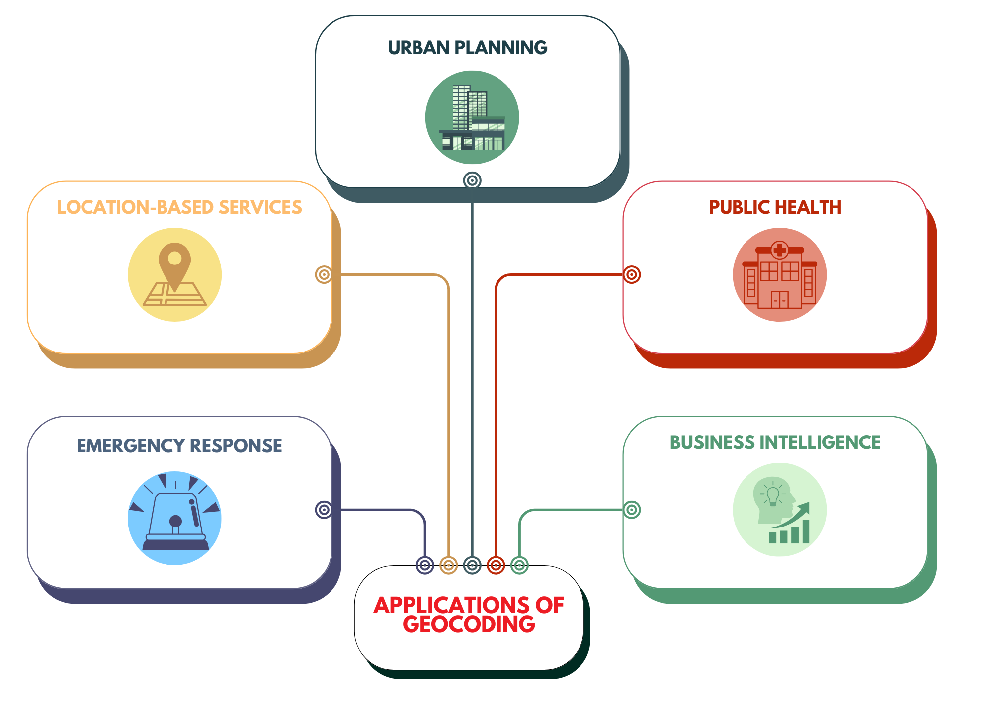
APPLICATIONS OF GEOCODING
Speak to us today!
Explore how GIS can help your organization solve industrial challenges. We expand more potential on your industrial data that you have within your reach.