
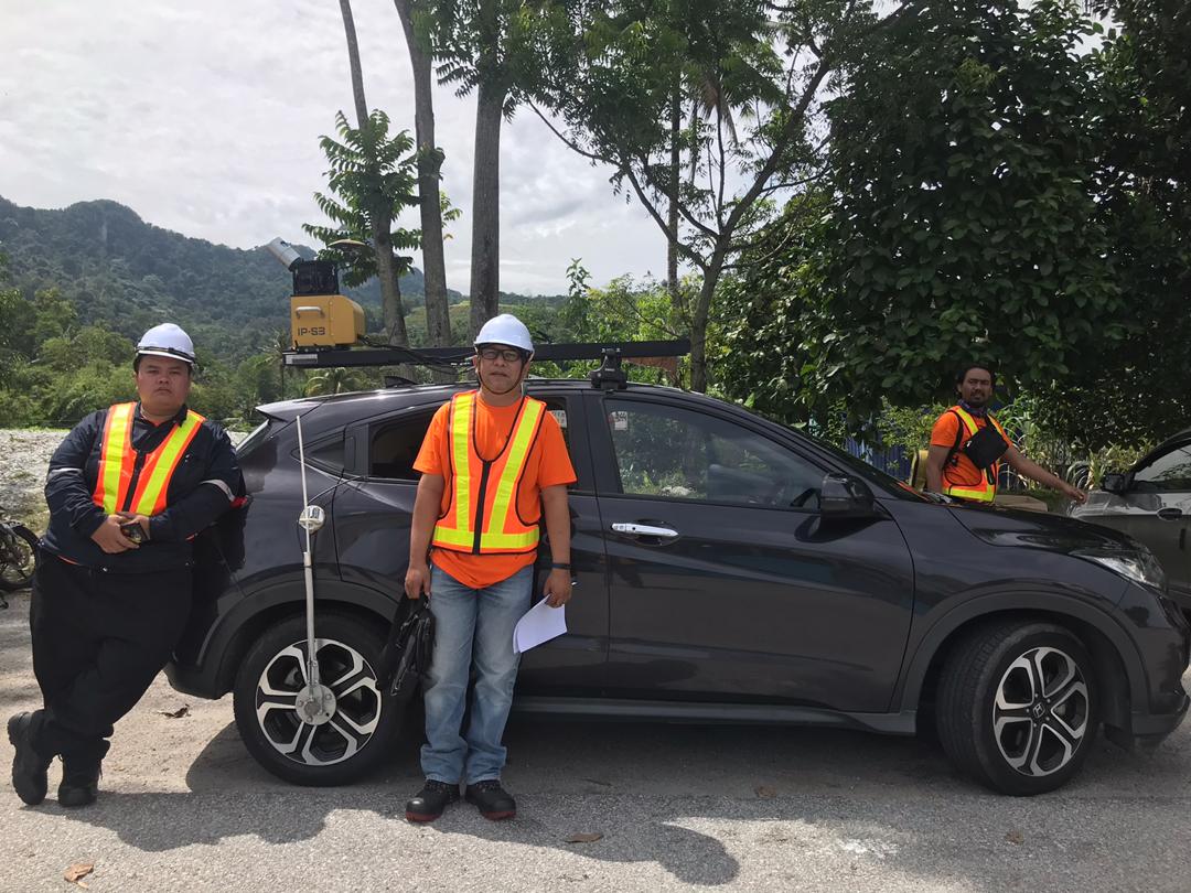
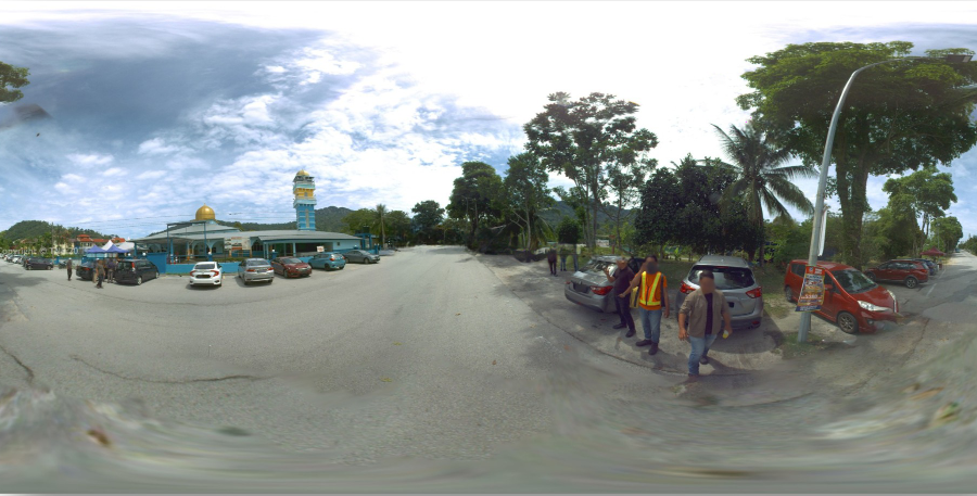
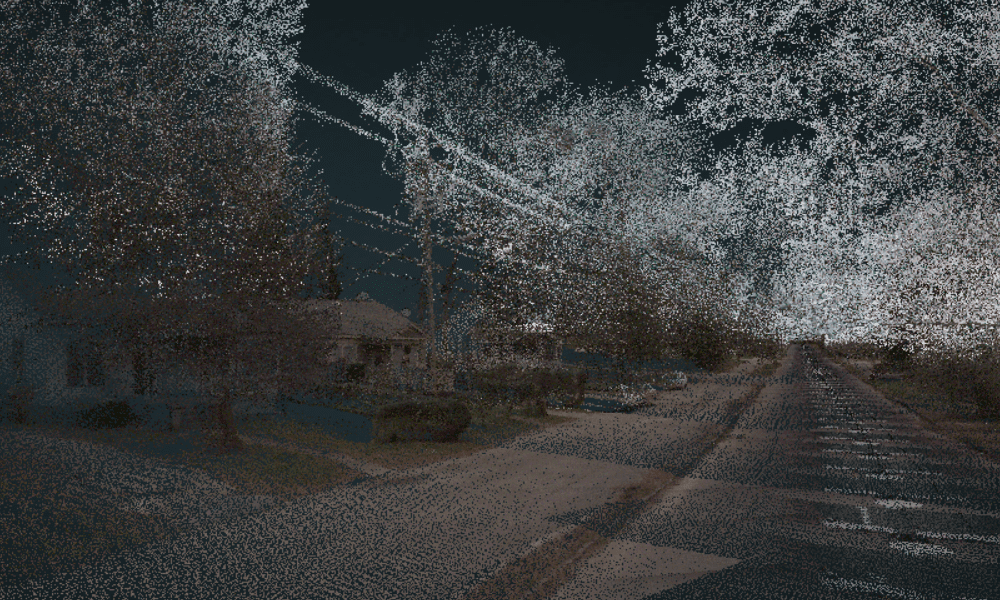
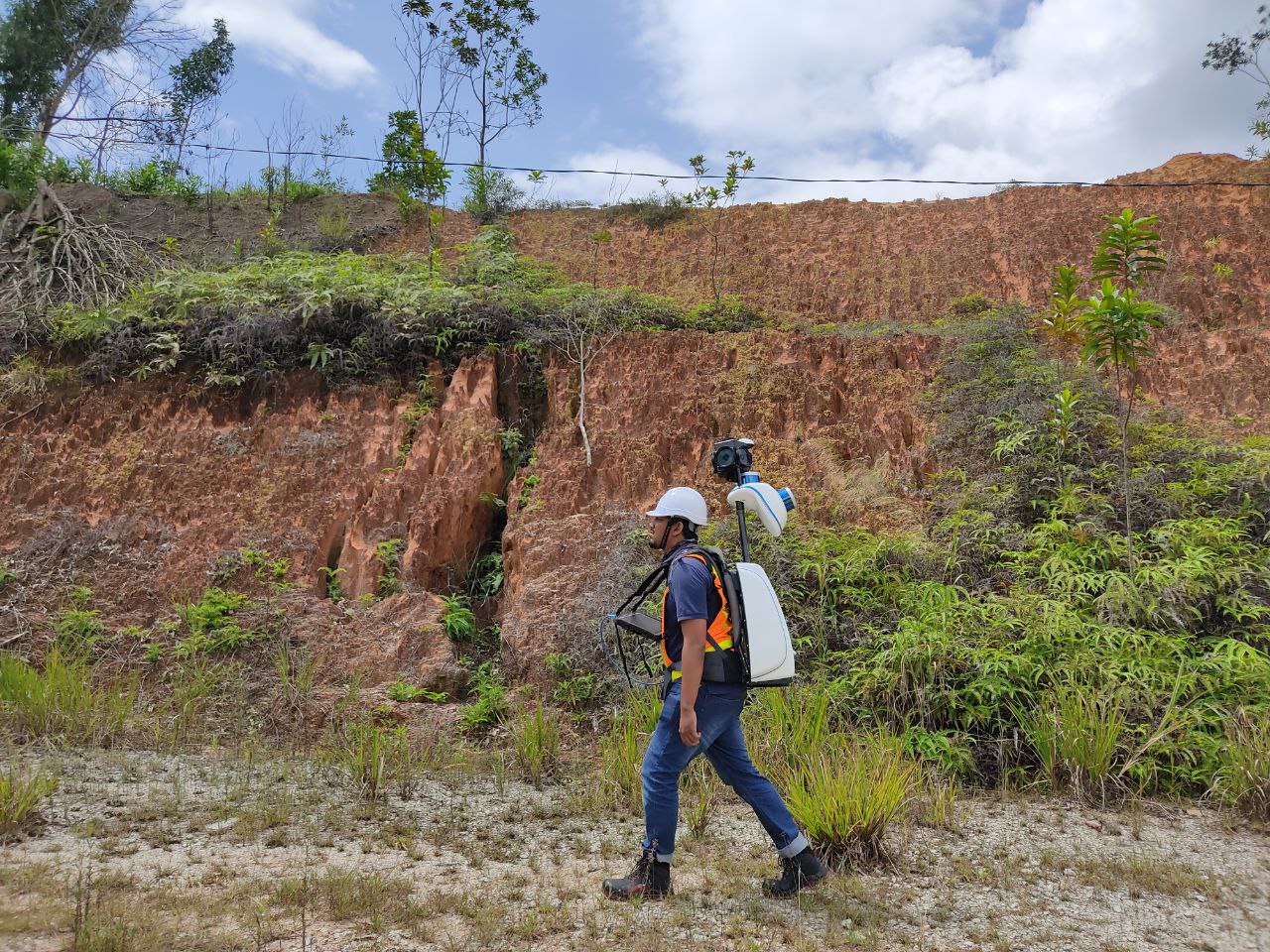
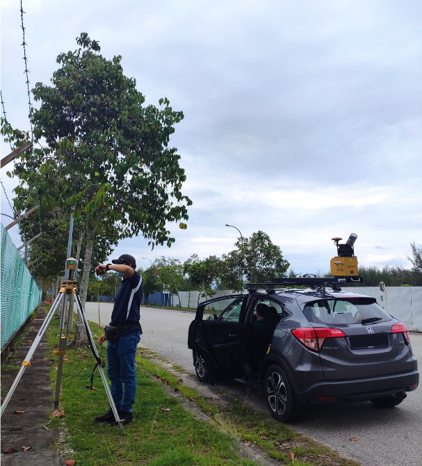
MOBILE MAPPING SERVICES
Mobile mapping technology has evolved from an emerging technology to a versatile tool employed in diverse geospatial applications. It has revolutionized data acquisition methods, offering an efficient approach to capturing high-quality asset data and panoramic imagery.
