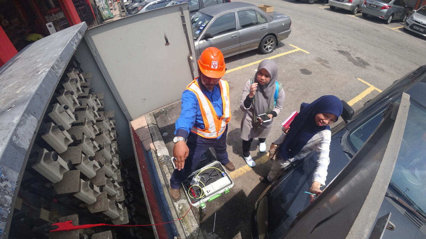
FIELD DATA COLLECTION

Field data collection, facilitated by mobile and handheld devices, revolutionizes asset management and spatial analysis. Technicians utilize GPS-enabled devices to gather geographic coordinates, attributes, and asset images. This efficient method ensures accuracy and real-time data access, empowering informed decision-making across industries.

Field data collection

Our Field Data Collection Service at RedPlanet is dedicated to enhancing asset management across industries through advanced techniques using mobile devices. Skilled technicians meticulously plan routes, leveraging GPS-enabled devices to gather precise geographic coordinates, asset conditions, and relevant metadata. From infrastructure to natural features, we ensure comprehensive data capture. Integrated cameras document asset conditions, providing valuable context. Rigorous validation ensures accuracy, supporting informed decision-making. Trust RedPlanet for reliable solutions driving your organization’s success.


OUR METHOD

CLIENT-CENTRIC APPROACH

Throughout the entire process, we prioritize your satisfaction. Our team remains responsive to your needs, providing support and guidance at every step of the project, ensuring we exceed your expectations and deliver exceptional results.

Thorough Planning and Route Selection

We kickstart every project with meticulous planning, assessing terrain complexities, and identifying specific data requirements. This includes strategically planning routes to maximize efficiency and coverage while minimizing resource consumption.

advanced Technology Utilization

Equipped with GPS-enabled devices and specialized software, we head into the field prepared to collect accurate data. Our devices seamlessly capture geographic coordinates, asset conditions, and metadata, facilitating thorough data collection.

Comprehensive Data Capture

From infrastructure assets to natural features, we leave no stone unturned. Our technicians meticulously document asset conditions, sizes, and surroundings, providing a holistic understanding of the environment.

Validation and Integration

We don't stop at data collection; we ensure its accuracy and completeness through rigorous validation procedures. Once validated, data seamlessly integrates into asset management systems or GIS databases for further analysis and decision-making.

GOING THE DISTANT

At RedPlanet, we’re genuinely dedicated to ensuring your success in GIS field data collection, regardless of the terrain. Across diverse landscapes like mountains, valleys, deserts, and forests, we navigate with expertise and dedication. With our skilled team and advanced tools, we meticulously collect and analyze data, empowering your decision-making process. Whether it’s remote landscapes or bustling urban areas, RedPlanet is your trusted partner in achieving your goals and driving positive change. No matter the rugged mountains, winding valleys, scorching deserts, or dense forests your project may traverse, rest assured, RedPlanet will navigate every terrain with expertise and dedication. Together, let’s conquer any challenge, ensuring your goals are achieved.

Speak to us today!

Explore how GIS can help your organization solve industrial challenges. We expand more potential on your industrial data that you have within your reach.