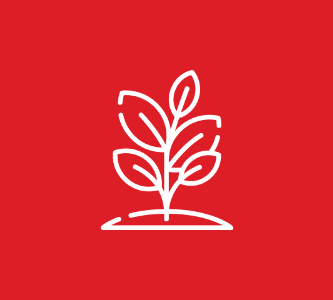
GETTING THE MOST FROM YOUR AGROINDUSTRY EFFORTS USING GIS FOR AGRICULTURE
Take advantage of location intelligence platform to visualise agriculture environment, improve workflow, reduce the hassle as well as control and maintain the crops and assets
Agriculture transformation is essential to the future well-being of developing nations and therefore also to a world with more equitable economic development.
The swift technology change encourages the agriculture sector to revolve and maximize efficiency and productivity. Location intelligence platform transforms your data to an interactive system to visualize the agriculture environment, improve workflow, reduce the hassle as well as control and maintain the Crops and assets.
From extensive data collection using remote sensing, and GPS to the interactive map and dashboard will allow your organization to increase production, reduce costs, as well as maintaining and managing land more efficiently.
By integrating our GIS technology for agriculture, it helps in contributing one of the factors for the sustainability of a smart city solution. By having IoT sensors, data analytics, and connectivity, agriculture can be integrated into a broader urban ecosystem but enabling seamless data sharing, intelligent resource allocation, and collaborative decision-making.
To further enhance the agricultural ecosystem, companies can utilize Hexagon solutions, renowned for their expertise in geospatial technologies. Hexagon’s innovative solutions, tailored for the agriculture industry, offer cutting-edge capabilities for precision farming, resource optimization, and crop monitoring.
Solution
Groundbreaking technologies and smart agricultural solution
Our GIS for Agriculture allows you to leverage all of your data sources in one place. With GIS, you can create maps that show how much land is being used to grow a specific crop, how much water is being used, or where pests are located so you can treat them more effectively. You’ll also be able to monitor soil health and nutrient levels as well as maintain accurate inventory records in order to keep track of what’s being produced each year.
GIS also makes it easy for you to manage all aspects of your farm—from planning out crops and managing supplies through harvesting, storing and selling produce—all while staying within budget constraints while maintaining an eye on sustainability practices such as minimizing chemical use or carbon footprint reduction initiatives.
crop management & Analysis
Our solutions enable you to streamline workflows and maximize productivity with field Inputs and generate spatial databases of agricultural attributes such as acreage, cropping pattern and yield.
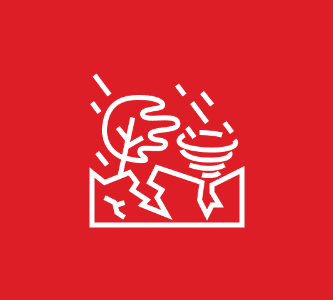
Disaster and recovery management
With the integration with geo – climate Smart Forecast technology. we provide a disaster management and flood planning solution to help you prepare and set precautions as wel as predict the impact Of losses.
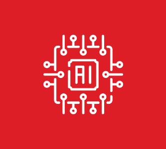
Adapting Geo-AI in Agriculture
Geo-AI solutions aims to improve the agribusiness and strive towards sustainable agriculture. Our solutions in RedPIanet help farmers to analyze real-time data of weather conditions, temperature, soil moisture, plant health, and crop prices in the market.
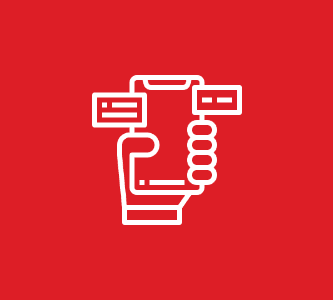
Field Mobile Application
Using the GPS-enabled mobile application on devices for farmers, agronomists, crop insurers, and researches, drones are more accessible than ever before, with more models offering longer flight times, greater payload capacities, and the ability to fly in varying conditions.
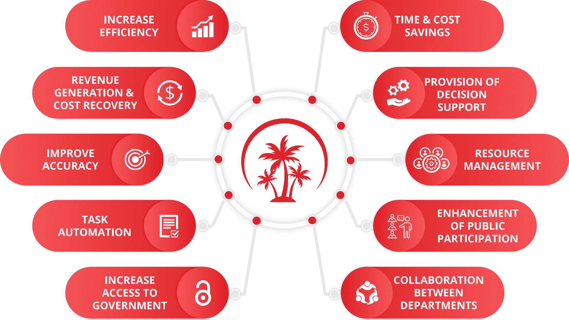
benefits
smarter agriculture
value
Transforming Agriculture
RedPlanet Solutions provides the methodology that best suits your business process to ensure the perfect solution to be used in your organization. using best technologies, resources and skills, we deliver output with a structured approach combined with project governance to client’s satisfaction. We pledge to provide significant value to our clients and prove ourselves to be the be the most fit, purpose-wise; in terms of flexibility and cost effectiveness
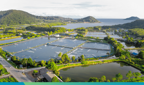
Developing Analytics Capabilities for the Rapidly Growing Aquaculture Industry
Aquafarmers can now bypass GIS and other technical requirements to access daily product growth forecasts, market price trends, environmental parameters, and risk analysis to optimize their operations, all from Rheticus Aquaculture, a cloud-based enterprise application.
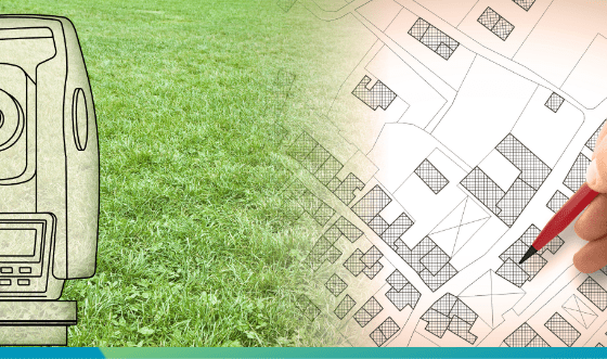
Land Parcel Identification System Serves Farmers Efficiently
For the Netherlands, the Ministry of Economic Affairs and Climate needed a solution that responds fast and reliably during peak surge submissions. Learn how Hexagon’s imagery and data management solution as well as image compression technology performs efficiently under pressure.
Explore how GIS can help your organization solve industrial challenges. We expand more potential on your industrial data that you have within your reach.