Streamlined GIS Data Processing & Efficient Data Management

GIS applications work best when they contain the right data, In the right form, and right time to drive them efficiently. RedPlanet provides the best methodology that suits your business process to ensure the perfection of the data to be used in your organization.

a man with backpack lidar sensor, walking, with the background of nature & the sky

What we do

Mobile Drones and Backpack Mapping Services

The Right Data in the Right Form

Using various technology, technique and skills such as mobile mapping, drones or backpack, we deliver the best output with a structured approach to project governance and a well-defined escalation mechanism. We pledge to provide significant value to end users and shall prove our-selves to be the most fit, purpose-wise; in terms of flexibility and cost effectiveness.

Meet Our Data Team

Data Team Specialities

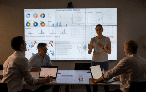
Geospatial technology has become a critical part of the business world, and our team is here to help you make the most of it. 

Our goal is to help you make better decisions faster, and we achieve that by helping you gather, organize, analyze, and share your geospatial data. By using our GIS data management tool, you’ll be able to make sure that everyone has all the information they need. This includes managing the metadata associated with your GIS data and defining how users can access it. 

You can also make use of our mobile mapping service to collect geospatial data from mobile vehicles such as drones or cars. Data may be stored in databases or spatial warehouses that are designed to facilitate fast and efficient retrieval.

With our GIS data processing service, you can analyze your current information from raw geospatial data to produce maps or other outputs that may be used for decision-making purposes, as well as determine what new data needs to be collected. This is especially valuable in industries like utilities (electric, telecommunication, gas, and water), agriculture, and construction, where there’s often a lot of uncertainty about what needs to be done next based on the weather or other factors that can change rapidly.

Moreover, our expertise extends to GIS application development, where we create tailored solutions to meet your specific business needs. Additionally, we leverage our development with the power of QGIS software, an open-source GIS program, allowing the public to develop cost-effective and customizable solutions that leverage the rich functionality of the software. QGIS ensures flexibility, scalability, and the ability to integrate seamlessly with existing GIS systems.

With our comprehensive range of services, including GIS data management, mobile mapping, data processing, we empower businesses across industries to unlock the true potential of geospatial technology and drive informed decision-making.


SOLUTIONS

DATA COLLECTIONS SERVICES

Drone To Map

The demand for high quality aerial data capture from drones, UAV or UAS is growing fast and now professional standard drones are readily available at affordable prices.

Mobile Mapping

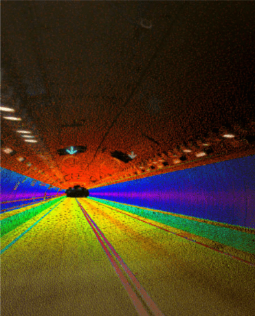
Mobile Mapping using LiDAR scanner is designed to document the real world in 3D  in a fast, safe, accurate, and cost-effective way.

Backpack Mobile Scanner

A backpack mobile scanner is designed to make the land data collection everywhere and reachable. 

Underground Utility Mapping

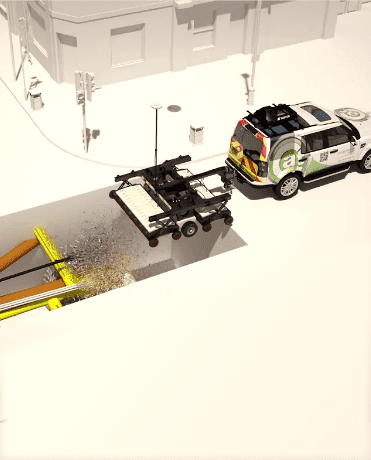
Underground Utility Mapping refers to detection, positioning, labelling and identification of buried pipes and cables underneath the ground.

Geospatial Data Services workflow

benefits

uncover the key patterns

workflow and complete data processing suite for quick and accurate map production

Unlocking data's value for better insights and decisions

Ensure data integrity & closing the data value gap

Speak to us today!

Explore how GIS can help your organization solve industrial challenges. We expand more potential on your industrial data that you have within your reach.