

Geographic Information System or GIS is a system that can be used to create, manage, analyze and map data. GIS integrates location information and underlying data seamlessly.
Different types of data can be visualized on a map at the same time by overlaying. GIS unravels the patterns and spatial relationships among various data intuitively. Today, GIS can be anything from a simple map that we use day-to-day for our navigation (in a mobile app) to complex utility models that many industries connect with.

Layers/Data forms the foundation for GIS Systems. It is the canvas for all the data layers and analytics. Layers could be satellite images, drone images to thematic representation of real world entities as vector map tiles. Since data is the foundation for GIS system, GIS analytical accuracy is subject to Data accuracy.

Cartographers to GIS analysts/consultants are the key people in taking the Geospatial Technology to reach the potential user base. We consider people component of the GIS as very crucial because it is the “Who” that helps in solving the problem of “Where”! The success/failure of a GIS system depends on the usability of these users.

Geospatial Analysis could be a simple buffer analysis to sophisticated Artificial Intelligence based models. Spatial Data accumulated over a period of time from different sources constitutes the base for simulation and predictive analysis. Location Intelligence provide valuable insights to unravel the reality in ground. Our GIS analysis able to provide clients meticulous planning for all your operations.

Application forms the final product which connects Data-People-Analysis with the aid of Hardware and Software systems. Customized Application tailor made to user needs are built taking into consideration of the user requirements.Application vary from a process heavy desktop to light weight mobile and web solutions, which could be accessed across users. Utilizing our GIS application development assists you in improving your business process.
GIS analyses spatial location and organizes layers of information into visualizations using maps and three-dimensional scenes to reveal insights into data to determine patterns and relationships. As such, data is considered to be the most important component of a GIS, where geographical data and related attribute data can be collected in-house or purchased from a commercial data provider.
GIS will integrate spatial data with other data resources and this data can be organized and maintained using a database management system. Data uploaded onto GIS can be combined to produce a wide variety of individual maps, depending on which data layers are included. It is this correlation between geographical data and attribute data that enables GIS to be used as a tool / solution through spatial analysis. Several types of data can be uploaded onto GIS, and these include:
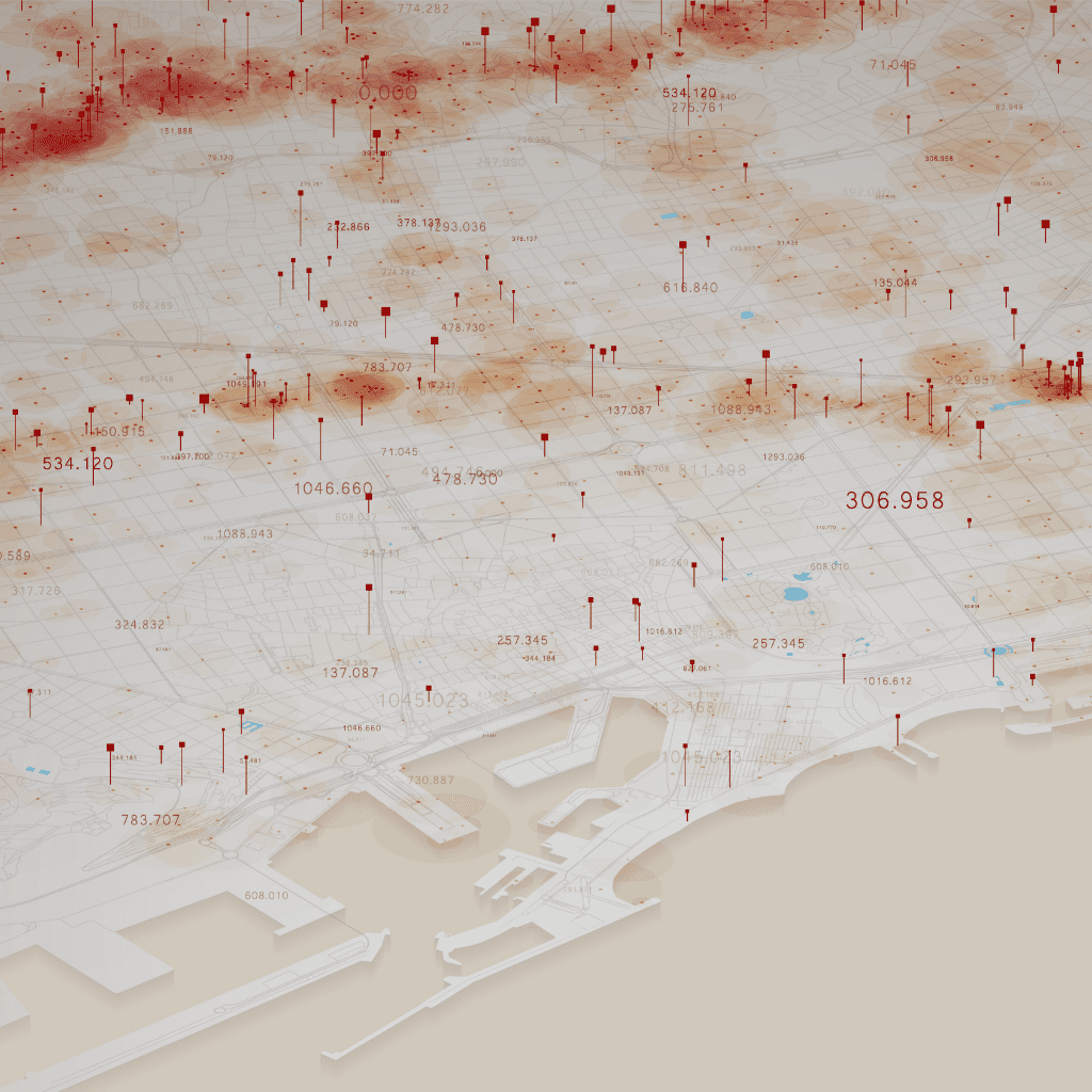

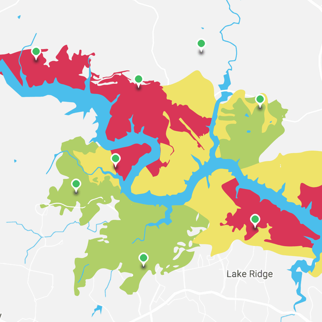
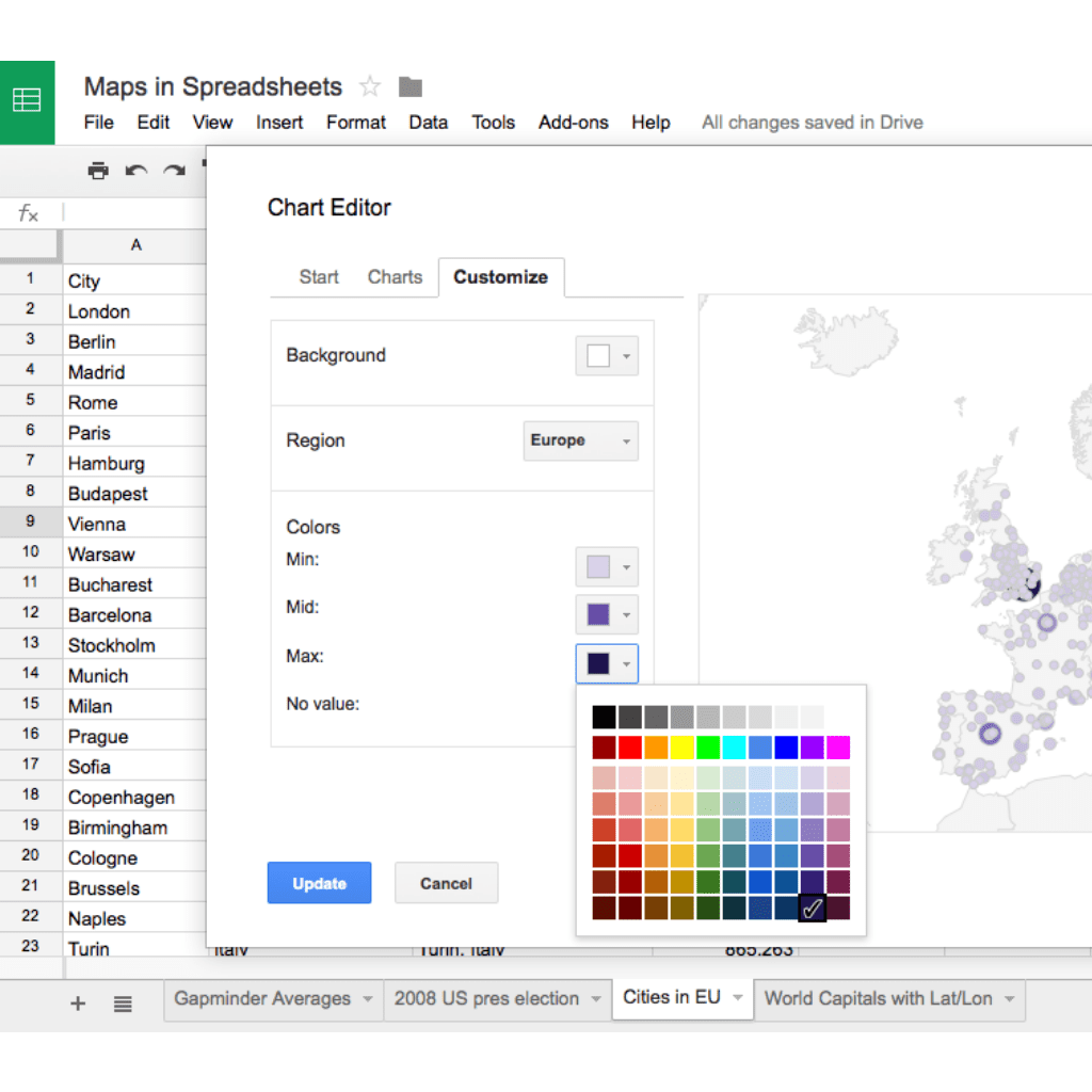
GIS is used across various industries. The technology connects people from different sectors towards a better information sharing and transparency.
© 2024 RedPlanet Group. All rights reserved.