GIS Fleet and Workforce Management system is an integrated solution that provides you with the tools to manage your fleet, workforce, and logistics with both real time and historical data regarding your vehicles and employees. The software allows you to make smarter decisions about how you use your resources, which in turn helps you improve productivity, increase profit margins, and reduce costs.
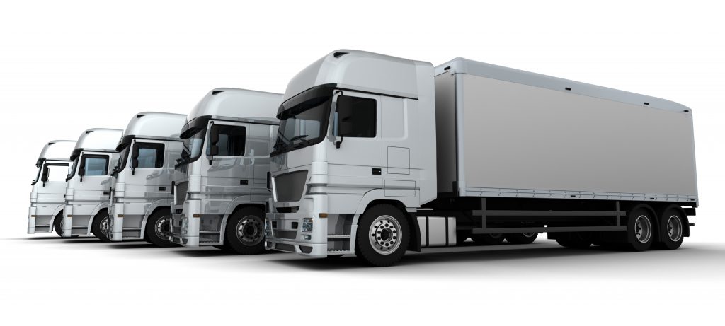
The GIS fleet management component of the system enables businesses to optimize their fleet utilization, monitor vehicle health, and improve driver safety. Through GPS tracking and advanced analytics, businesses can track routes, monitor fuel consumption, and analyze driver behavior to identify areas for improvement.
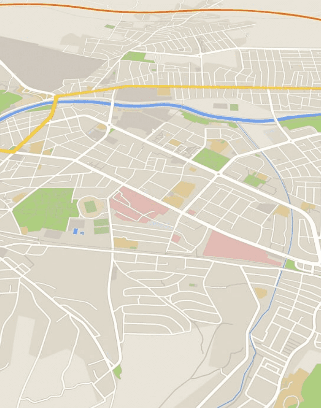
Mapping plays a crucial role in the GIS-based solution, allowing businesses to visualize and analyze spatial data related to their fleet and workforce. Combining our integrated mobile mapping and drone surveying services, we are able to help businesses to identify optimal routes, plan efficient logistics, and allocate resources effectively to improve workforce management.
Real-Time Map-Centric Dashboard
Fleet Tracking & Management
Mapping
GIS Fleet Management
Once regarded as best practice, fleet management is now considered standard practice for companies to keep track with its fleets and increase productivity. Fleet management systems (FMS) empowers company with more control of its assets and fleets, no matter what industry you are in.
By understanding where your fleet is & how it is connected, you are able to
Real time fleet tracking
Asset status and maintenance management
Manpower management
Optimize routing and navigation to save money
benefits
seamless and safest transportation system
Deliver smooth and fast logistical services with efficient cost
Powered with Location Intelligence, find the fastest and least-cost routes for your fleet.
Ensure safety with timely infrastructure maintenance
Minimise unnecessary service downtime with on time maintenance of infrastructure.
Smooth accessibilities throughout the region
Invite more businesses into the region with world class transportation facilites.
Data can be collected from a wide variety of sources, such as weather reports, satellite imagery, and social media. From storm readiness to network connectivity and effective inertia, these solutions have proven to be powerful tools in the hands of those who need them most.
With Hexagon’s solution, the District of Columbia DOT automates routing bridge strikes and other actions that threaten infrastructure and public safety.
Explore how GIS can help your organization solve industrial challenges. We expand more potential on your industrial data that you have within your reach.